Land use and planning coastal scenarios for 6 Caribbean countries

Land use and planning coastal scenarios for 6 Caribbean countries

Development of land use and planning coastal scenarios for 6 pilot countries

The objective of this project was to improve regional processes of climate relevant data acquisition, storage, analysis, access, transfer and dissemination and pilot and scale up innovative climate resilient initiatives.

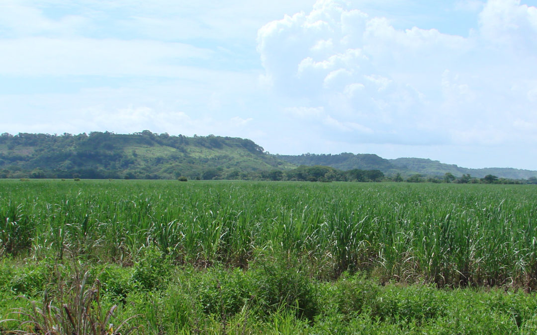
The goal was to support the use of models so as to enhance understanding of risks from climate change related events (sometimes catastrophic) so that those risks can be managed through integrated actions and interventions.

InVEST is a suite of free, open-source software models used to map and value the goods and services from nature that sustain and fulfill human life. Despite its importance, this natural capital is poorly understood, scarcely monitored, and, in many cases, undergoing rapid degradation and depletion. The multi-service, modular design of InVEST provides an effective tool for balancing the environmental and economic goals of governments, non-profits, international lending institutions, and corporations.

The Outcomes

The key objective was to help local stakeholders to understand and appreciate the role and importance of climate change scenarios in coastal planning and coastal zone management.

The training set the bases for stakeholders to set-up, edit and update coastal scenarios using specific modeling techniques, and train them in possible uses of these scenarios in the decision-making process. The Service helped produce scenarios for possible futures and applications and there is an expectation that stakeholders in each Pilot Country did:

  • Improve their understanding of modelling techniques
  • Gain an appreciation of the importance of data-driven and science based planning
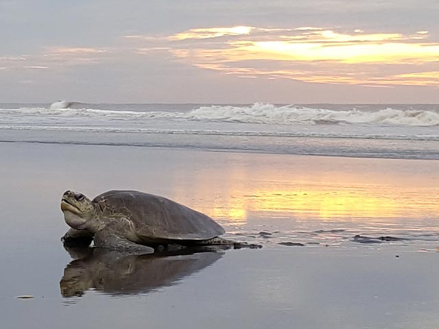
  • Understand the role marine and terrestrial habitats play on the impact of climate change
  • Realise the potential of scenario-based planning through different examples

Next you can see an interactive map from the island of Dominica. This is an example of the accesibility of information that the workshops focused on. Clicking on the “Layers” icon, different information data retrieved by local experts is accesible.

COUNTRY

Jamaica · Haiti · Dominica · St. Vincent & Grenadinies · St. Lucia · Grenada

IMPLEMENTATION PERIOD

2021 · 2022

DONOR · PARTNER

UWI · CIF · IDB / Open Plan

Bioecological study of St. Lucia with GIS data

The service helps understand the role marine and terrestrial habitats play on the impact of climate change

The aim is to make relevant information available and accessible, to improve life’s quality for vulnerable populations

Benthic habitat mapping is a fundamental component of ecosystem-based coastal management

Reducing GHG emissions in dairy farms from Uruguay

Reducing GHG emissions in dairy farms from Uruguay

Technical Assistance to support the Research, Development and Deployment of technologies for the reduction of GHG emissions in dairy farms, through the circularity of flows and materials and the use of climate technologies in Uruguay

Uruguay’s emissions profile is strongly marked by emissions related to food production. According to the latest National Greenhouse Gas Inventory, in 2017, 60% of net emissions (considering removals) and 77% of gross emissions (without considering removals) correspond to the agricultural sector. Within these, 95% of emissions are generated within establishments and 2.5% in industry. Therefore, it is a priority for the country to work on mitigation and adaptation alternatives in this sector, and to make progress in the use of waste from animal production systems, particularly from livestock.

In Uruguay, there are currently approximately 3,900 dairy farmers. In recent decades there has been a significant increase in milk production at the national level, accompanied by a process of concentration of production systems.Production increased by 52% during the last 15 years, from 1.3 to 2 million liters per year, while the number of dairies decreased by 31%, from 5,100 to 3,900 dairies. This process, together with the changes in the global context, have caused production systems to face new problems. The challenge for Uruguay’s dairy industry in the future will be to make intensification sustainable.

During 2019 and 2020, the Project for the Evaluation of the current situation of the Circular Economy for the development of a Roadmap for Brazil, Chile, Mexico and Uruguay was implemented through the CTCN, a project aimed at promoting actions to mitigate climate change and progress in the circular economy for which two value chains were selected, the dairy and meat chain.

The purpose of this technical assistance is to identify and study climate technologies and circularity practices for the treatment and use of flows and materials. In addition, technologies that have worked at the pilot level but have challenges for scaling up will be studied. Centralized models that include waste from other agricultural industries will be evaluated to determine management models, assessing their economic feasibility and co-benefits, and identifying the actors that should participate in order to obtain sustainable models that can be replicated at the national level.

COUNTRY

Uruguay

IMPLEMENTATION PERIOD

2022

DONOR · PARTNER

CTCN/CONSUR

Paraguay has over 3.900 dairy farmers

Only 5% of the national territory is used to produce milk

70% of its dairy production is exported

Software for Climate Change and Land Use Planning in Costa Rica

Software for Climate Change and Land Use Planning in Costa Rica

Software for Climate Change and Land Use Planning in Costa Rica

Development of a protocol for the planning, management and implementation of adaptation measures in land use planning at the level of Local Governments in Costa Rica.

OIKO developed, under the funding of CTCN, a Land Use Protocol to increase resilience to climate change in Costa Rica enabling local governments to develop climate change adaptation and mitigation measures in Land Use Planning LUPs, working in conjunction with key stakeholders, such as public institutions and the private sectors. The process included a participatory approach to build the technical and technological capacity of the Government officials (Strategic Environmental Assessment Department), enabling them to develop the technical basis needed to guide local governments in the process of assessing and identifying climate change adaptation and mitigation measures in land use plans.

The Protocol combines spatial data from international, national and local open sources, applied through the integrated use of various GIS, design and statistical tools in one single software tool. It allows to conduct land use foresight for investigating and providing information about future land use and impacts of possible land use decisions on society, the economy and the environment. It comprises a range of analytical tools and approaches that have been introduced through the planning process, combined with traditional practices including social and environmental impact assessments. Zoning and development plans, which may have a major impact on the environment and community, must be assessed for their environmental and social impact. These assessments are often done in conjunction with risk and vulnerability analyses for the planning area.

CTCN · Development of a protocol for the planning, management and implementation of adaptation measures in land use planning at the level of Local Governments

The Climate LUP Protocol is a software application tool that will be used by local government planners to reduce climate risks in four ways:

  • limiting development in hazard-prone areas
  • ensuring that the built environment can withstand a range of environmental stress
  • helping to preserve natural environments that protect communities against hazards (for example, dunes that absorb coastal storm effects)
  • educating stakeholders and decision makers about risks and opportunities and fostering dialogue about adaptation

Stakeholders: The Climate Change Department, technical staff from the governmental institutions involved in land use planning (SETENA, National Hydrometeorology Institute, National Groundwater, Irrigation and Drainage Service – SENARA, National Institute for Housing and Town Planning – INVU, Ministry of Housing and Human Settlements – MIVAH, Costa Rican Institute of Tourism – ICT, Institute for Municipal Development and Assistance – IFAM) and (CATIE) The Tropical Agricultural Research and Higher Education Center.

COUNTRY

Costa Rica

IMPLEMENTATION PERIOD

2017 · 2018

DONOR · PARTNER

CTCN

Costa Rica’s Brunca region

Country’s main land use

Example of coffee plantation

Decision Support Tools for Climate Scenarios

Decision Support Tools for Climate Scenarios

Decision Support Tools for Climate Scenarios

OIKO’s EARTH OBSERVATION team includes practiced geographic information system (GIS) professionals developing land-use planning tools for coastal areas scenarios development. Our team works hand in hand with land use and coastal planners to facilitates identification of adaptation solutions based on coastal sensitivity to different threats: agriculture development, urbanization, irrigation, water consumption, climate change, coastal erosion etc., based on the calculated exposure to coastal erosion of ecosystems, infrastructure, etc.

OIKO has supported the Ministry of Planning in Costa Rica to develop land use planning coastal scenarios and maps showing changing land utilization and development depending on various factors for land cover use: benthic classes assessment, socio-economic activities, ecological services and benefits, climate change, etc.

As for many SIDS recreation, tourism, and estuarine-dependent commercial and recreational fisheries play a key role in the strategic development of coastal regions, which are in turn important contributors to the high quality of life in the rest of the country. However, some coastal areas are experiencing rapid tourism and population growth, making it necessary to develop management tools that links and applies decision support tools to enable better land use and resource management decisions to municipalities.

Working with the Ministry of Planning SETENA, OIKO developed a national operational guideline (Protocol) and the key scenarios for some municipalities to land use planning tool for scenarios development.

Our team used the following three decision support tools to demonstrate the innovative application and integration of tools for land use scenario analysis for planning and ecosystem management.

  • Community Viz is a decision support software for regional and local planners used for the development and analysis of land use scenarios and socioeconomic indicators. With an ArcGIS® extension to include interactive analysis tools and a decision-making framework to help view, analyze and understand land-use alternatives and impacts.
  • NatureServe Vista helped the government planners to depict ecological values, evaluate impacts from land use scenarios, and develop alternative land use scenarios. NatureServe Vista is a powerful Scenario-Based Assessment and Planning Tool, developed as an extension to ArcGIS that supports complex assessment and planning in any environment, anywhere that has data sufficient for your planning needs. The tool helps managers and planners assess impacts on a variety of natural, cultural, and development objectives, and create options for sites, and entire landscapes and seascapes.
  • The Nonpoint-Source Pollution and Erosion Comparison Tool (N-SPECT) helped to predict sedimentation and pollution changes within different land-use scenarios and to identify areas that are the key contributors. With an open-source version, Nonpoint Source Pollution and Erosion is a broadly applicable comparison tool to investigate impacts from development, other land uses, and climate change. The tool allows simulations of erosion, pollution, and their accumulation from overland flow, provides estimates and maps of surface water runoff volumes, pollutant loads, pollutant concentrations, and total sediment loads. These scenarios allow users identify areas that might benefit from changes to proposed development strategies and provides a means to analyze “what if” land use change scenarios.

After participating in the training, the local municipality planners of Costa Rica were able to perform ongoing analysis and improve local decision-making and resource management by integrating the three decision-support tools. The interoperability substantially increased the users’ decision-making capacity, enabling them to conduct cross-sector and ecosystem planning. The process and lessons learned are applicable to the other coastal communities in other municipalities.

COUNTRY

Global actions

IMPLEMENTATION PERIOD

15+ years

DONOR · PARTNER

Climate Technology Center Network UNIDO

Costa Rica’s mangrove swamp

Satellite vies of Costa Rica

Costa Rica’s main setlements

Science Bases Prediction for Climate Scenarios in ACP Countries

Science Bases Prediction for Climate Scenarios in ACP Countries

Science Bases Prediction for Climate Scenarios in ACP Countries

Reliable information on climate change and variability can build resilience to climate impacts; saving lives, stopping and reversing desertification and improving livelihoods. Science-based climate information is critical for African countries to increase their resilience for adapting to climate change by addressing timely and effectively climate risks.

The European Commission has integrated Climate Services as part of its Research and Technological Development policy. Through the European Commission, the EU responded to the needs of ACP Group of States for climate services in the 11th European Development Fund (EDF) “to strengthen production, availability, delivery and application of science-based climate prediction and services”. The EU commissioned OIKO and Particip to formulate the Intra-ACP Climate Service Support Programme to:

  • Increase structured interaction between the user, researchers, and climate services providers through a User Interface Platform.
  • Provide climate services at Regional and National level through reliable Climate Service Information Systems (CSIS).
  • Improve access to Climate Information is improved by strengthening observation and monitoring systems, as well as Research, Modelling and prediction.
  • Enhance capacity of countries to generate and apply climate information and products.
  • Improve climate-informed decision-making through mainstreaming of climate services into policy processes.

These actions are currently under implementation by the ACP Secretariat, the Global Framework for Climate Services hosted by the World Meteorological Organization (WMO) and the Joint Research Centre.

The main beneficiaries of the action are the Regional Climate Centres (RCCs), the African Union Commission (AUC), the African Regional Economic Communities (RECs), the Caribbean Institute for Meteorology and Hydrology (CIMH) and the Secretariat of the Pacific Regional Environment Programme (SPREP).

The Regional Climate Centers act as multipliers and will work with the National Meteorological and Hydrological Services (NMHSs) and their partners in climate services provision at national level coordinated within a National Framework for Climate Services.

COUNTRY

ACP Countries

IMPLEMENTATION PERIOD

2017 · 2018

DONOR · PARTNER

EU

Automatic Weather Station

Automatic Weather Station

Spatial Analysis & Earth Observation

Spatial Analysis & Earth Observation

Spatial Analysis & Earth Observation

Our Earth Observation team provides advise to Governments and private clients and partners of climate-sensitive sectors on innovative and practical solutions based on Earth science data and knowledge. OIKO supports application projects that foster use of earth observations from satellites and ground-based measurements.

We partner with research and academic institutions, meteorological agencies and software developers around the world to analyze and interpret remotely-sensed products and in-situ measurements, to ensure partners have access to the most reliable and relevant information in appropriate formats that are compatible with their decision-making and planning operations.

We focus on monitoring and analyzing satellite-derived and ground-based estimates of vegetation, precipitation, surface temperature, water bodies, atmospheric dust, land cover and evapotranspiration.

Our services and products have been integrated into operational early-warning systems for municipal strategic planning, public health, disaster management, agriculture and food security.

The Earth Observation Applications Group also provides international and U.S.-based trainings on how to use its innovative products for decision making and planning. Past clients include the Food and Agriculture Organization, the World Health Organization as well as the ministries of health, agriculture and national meteorological agencies of more than ten countries in Africa, Latin America and Asia. We support graduate students in Columbia University’s Department of Earth and Environmental Engineering.

COUNTRY

Global actions

IMPLEMENTATION PERIOD

15+ years

DONOR · PARTNER

Ministries, Agencies & Organizations

Radiosonde attached to a Weather Balloon

Weather balloon released

Aereal view from the Antartica